---------- Forwarded message ----------
Date: Thu, Oct 31, 2013 at 11:37 AM
Subject: Map of Philippines with Manila, Cavite & Bicol
Map of Philippines with Manila, Cavite & Bicol
Subject: Map of Philippines with Manila, Cavite & Bicol
Map of Philippines with Manila, Cavite & Bicol

When I found the Map,
I came across this info about retiring in Philippines,
just something to think about.
===.
Update: 2013 Nov 14
I read the the news that said that 'Typhoon Haiyan' will hit 'Makati' but now the news reads that it hit 'Tacloban, Palo' instead. Click HERE to read all about it.
===.
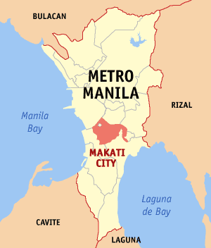
Makati
From Wikipedia, the free encyclopedia
http://en.wikipedia.org/wiki/Makati
http://upload.wikimedia.org/wikipedia/commons/f/fe/Ph_locator_ncr_makati.png

===.


